
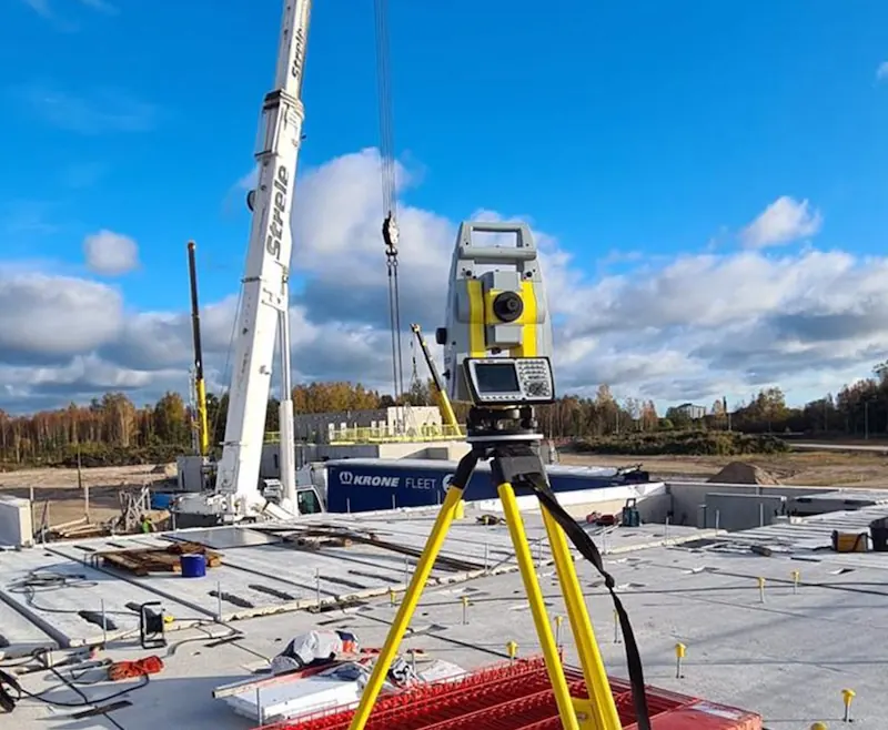
Engineering geodesy ensures that the structure is built exactly where designed and at the correct elevation. We stake out building axes on site so builders can start foundations. We also perform vertical planning, volume calculations (e.g., gravel piles), and structural deformation monitoring.
Who needs it
- Setting out building axes
- Deformation monitoring
- Vertical planning
- Volume calculations (quarries, warehouses)
How the work runs
- Data AnalysisChecking designer files and preparing for the instrument.
- StakingMarking axes on site with high precision (up to mm).
- Act PreparationIssuing staking act for the building authority.
What you receive
Staking act and scheme required for the construction log and supervisor.
Related work
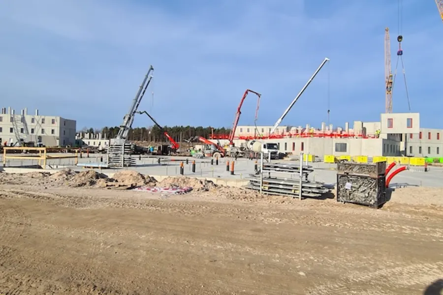
New Liepāja PrisonLatvia's largest state-commissioned construction project (€125M) – the most modern detention facility in the Baltics 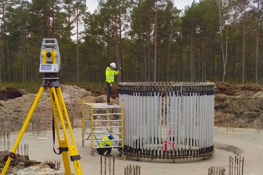
Wind Turbine Park in LiepājaGeodetic works for wind power stations on the Kurzeme coast
Frequently asked questions
How to order surveying services?
Ordering our services is simple:
- Contact us – by phone +371 634 83194 or email info@topoprojekts.lv
- Free consultation – we'll explain the process and provide a quote
- Contract signing – agree on scope of work and timeline
- Work execution – we perform field measurements and prepare documents
- Delivery of results – you receive completed documents
Initial consultation is free! Feel free to call even if you just want to find out whether you need a surveyor at all.
What is GNSS surveying?
GNSS (Global Navigation Satellite System) is a collection of satellite navigation systems including GPS, GLONASS, Galileo and others.
GNSS advantages in surveying:
- High accuracy – up to 1-2 cm
- Fast surveying – no direct line of sight needed between points
- Large area work – efficient for large objects
We use professional GNSS receivers that provide centimeter accuracy in real-time (RTK technology).