← common.backToServices
Laser Scanning / Lidar Data Acquisition
Fast and accurate 3D environmental surveying for large areas and complex objects.
Service Essence
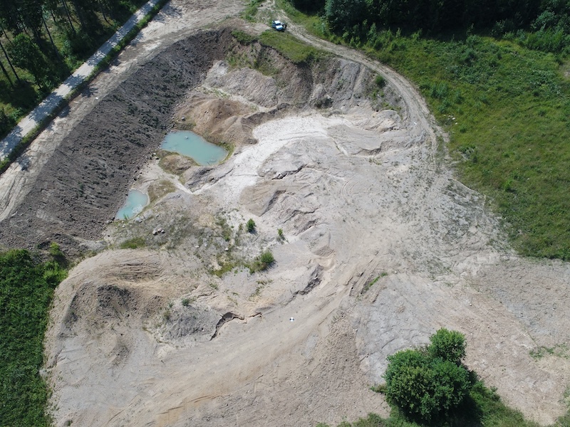
Laser scanning (LIDAR) allows acquiring millions of precise points (point cloud) in a short time, creating a detailed 3D model of the environment. It is the ideal solution for measuring complex industrial objects, facades, bridges, road infrastructure, and large territories where traditional methods would be slow or inaccurate.
services.processTitle
1
Scanning
Data acquisition with a 3D laser scanner.
2
Registration
Merging individual scans into a single point cloud.
3
Processing
Noise cleaning, classification, and modeling.
Why Choose Us?
- ✓High precision (up to mm)
- ✓Huge data density acquisition
- ✓Building facade and interior scanning (BIM)
- ✓Quarry and terrain surveying
services.deliverablesTitle
Classified point cloud (.las, .rcp) or 3D model (.rvt, .ifc).