As-built surveys in Liepāja — construction geodesy
As-built surveys for buildings and utilities for commissioning in Liepāja and Kurzeme. Underground utility mapping before trench backfilling. Certified surveyors.
Service Essence
As-built surveys are a mandatory part of construction documentation, confirming that the structure was built according to the design. We measure and document the actual position of buildings, utilities, and landscaping after construction completion. Underground utility as-built surveys are especially critical — water supply, sewerage, gas, electricity, communication cables. These measurements MUST BE DONE BEFORE trench backfilling, as utilities become invisible afterward. We work promptly and are ready to arrive on site at short notice. As-built survey documentation is required for building authority approval, commissioning, and ongoing utility database maintenance.
services.processTitle
Request
We receive information about the site and work type. For underground utilities — we coordinate arrival time before backfilling.
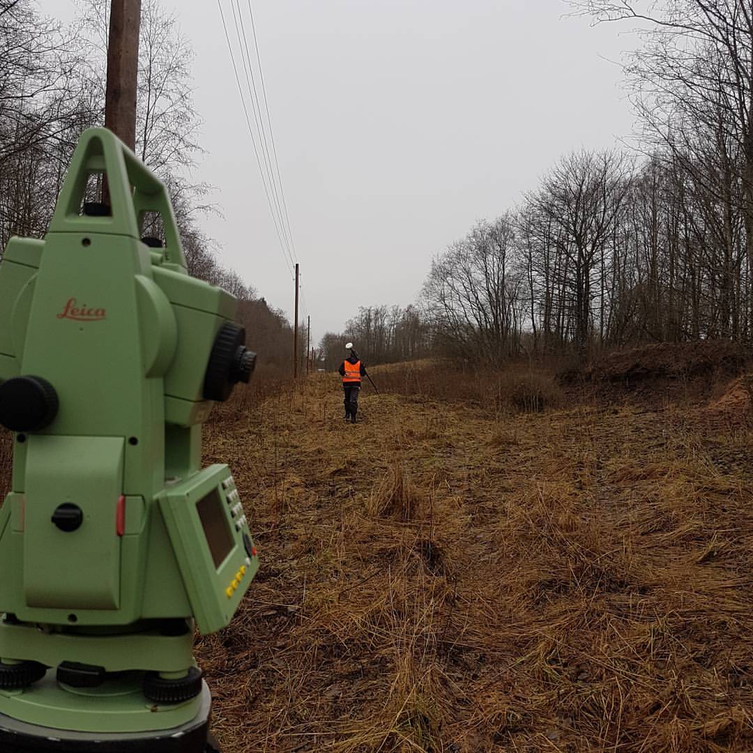
Surveying
We perform precise geodetic measurements with total station or GPS. We record coordinates, elevations, depths.
Photo Documentation
We take photographs referenced to measurement points. Especially important for hidden works.
Documentation
We prepare as-built drawings, coordinate lists, and compliance reports for building authority.
Why Choose Us?
- ✓Building as-built surveys — actual position of structures and buildings
- ✓Utility as-built surveys — water, sewerage, gas, electricity lines
- ✓Communication as-built surveys — telecom and fiber optic cable routes
- ✓Road and pavement as-built surveys — transport infrastructure
- ✓Landscaping as-built surveys — exterior improvements
- ✓Hidden works surveying — before backfilling or covering
- ✓Rapid site response — we work according to contractor schedules
services.deliverablesTitle
As-built drawings in DWG/PDF format, coordinate list, compliance report (comparison with design), photo documentation. Documents valid for building authority approval and commissioning.