← common.backToServices
Bathymetry / Waterbed Surveying
Depth measurements of lakes, rivers, and harbor basins, and mapping of bed terrain.
Service Essence
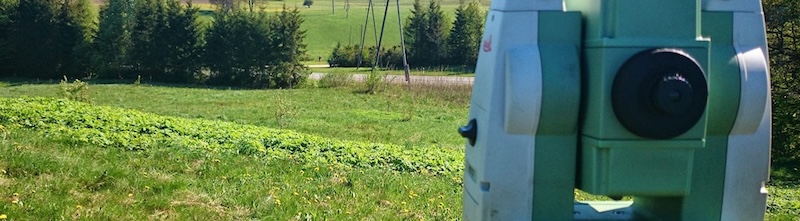
Bathymetry is the measurement of water body depth and determination of bed terrain. We use specialized echo sounders and GPS equipment to perform measurements in lakes, rivers, ponds, and harbor basins. This data is essential for designing hydraulic structures, dredging works, and navigation safety.
services.processTitle
1
Field Work
Performing measurements with a boat and echo sounder.
2
Synchronization
Linking depth data with GPS coordinates.
3
Mapping
Creation of depth maps and profiles.
Why Choose Us?
- ✓Port and pier inspection
- ✓Dredging volume calculations
- ✓River and lake profiling
- ✓Digital bed model
services.deliverablesTitle
Depth map, bed cross-sections, and 3D terrain model.