← common.backToServices
Land cadastral surveying in Liepāja and Kurzeme region
Certified surveyors in Liepāja perform land boundary surveys, inspection and registration with the State Land Service. 20+ years of experience.
Service Essence
Land cadastral surveying is the process of determining, physically marking, and documenting land property boundaries. It is a legally binding process required for establishing property rights, resolving boundary disputes, as well as subdividing or merging land plots.
services.processTitle
1
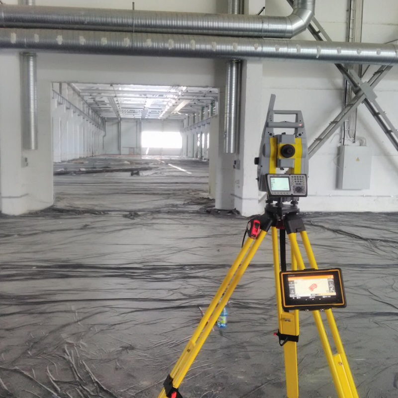
Data Request
Obtaining information from the State Land Service archive.
2
Surveying
Surveyor's work on site – locating and measuring boundary points.
3
Office Work
Drawing plans and coordination with involved parties.
4
Registration
Submission and registration in the Cadastre Information System.
Why Choose Us?
- ✓Boundary inspection and restoration on site
- ✓Installation of boundary markers
- ✓Preparation of boundary and situation plans
- ✓Preparation of encumbrance plans
services.deliverablesTitle
Registered land boundary plan and updated data in the Cadastre system.