Topographical surveying in Liepāja and Kurzeme region
Professional topographical plan development in Liepāja and Kurzeme. High-precision GNSS and total station measurements, ADTI at 1:250–1:1000 scales. 20+ years of experience.
Service Essence
A topographical plan is the foundation for any construction or design work. We develop high-detail topographical information (ADTI) at scales 1:250, 1:500, or 1:1000. Our specialists perform not only on-site surveying but also coordinate all engineering utilities with their providers (TET, Sadales Tīkls, Liepājas Ūdens, etc.) and register data in the municipal database.
services.processTitle
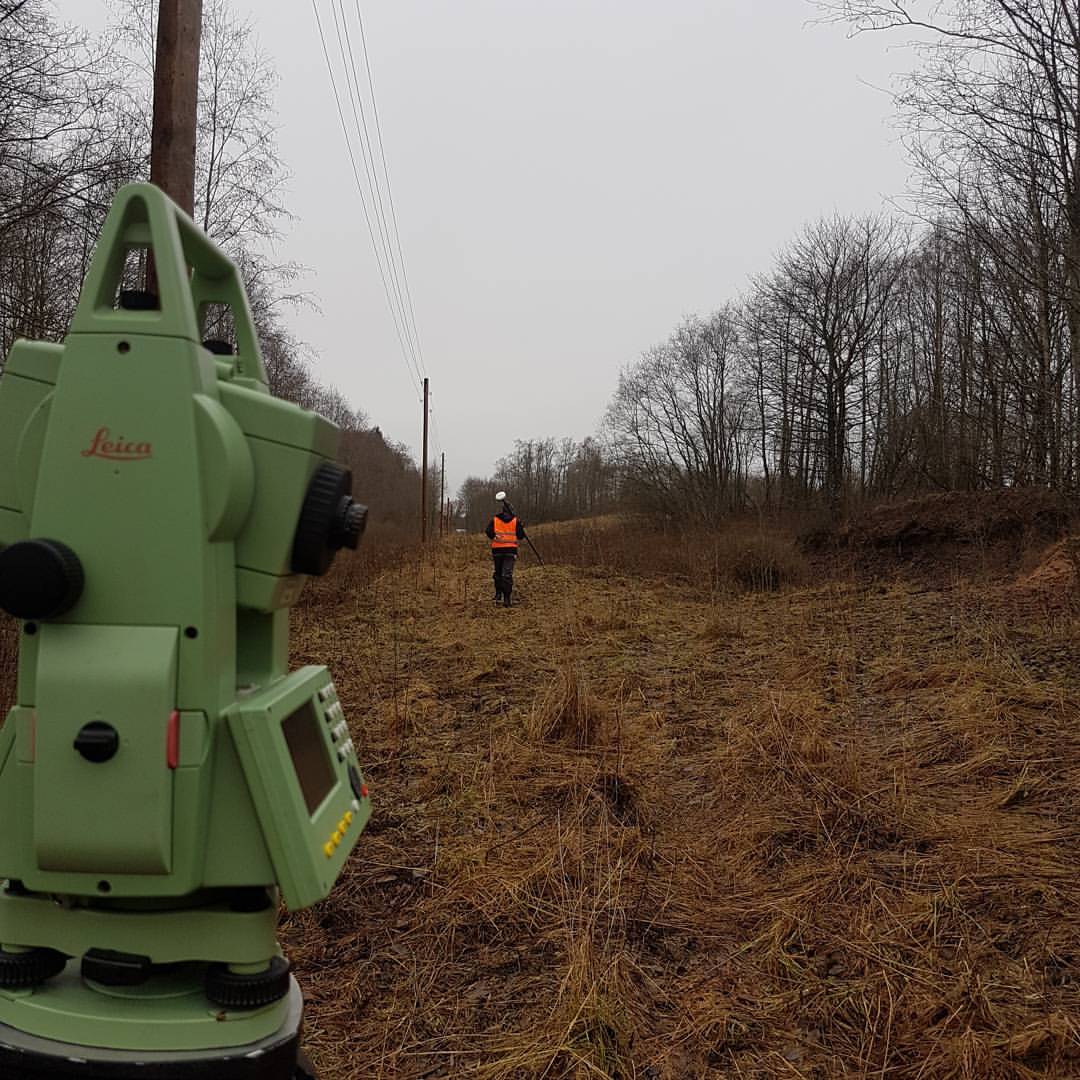
Field Work
Surveyors visit the site and measure the situation.
Office Work
Data processing and plan drawing in CAD software.
Coordination
Coordinating the plan with utility providers (electricity, gas, water).
Registration
Plan verification and registration in the municipal ADTI database.
Why Choose Us?
- ✓Topography for design purposes
- ✓As-built surveys for building commissioning
- ✓Coordination with utility network providers
- ✓Registration in the municipal database
services.deliverablesTitle
Coordinated topographical plan in .dgn and .pdf format, valid for 2 years (or until situation changes).